Eyes overhead.Before, during and after.
Remotely piloted aircraft (drone) operations for events, operations and assurance. Day or night.
The right picture, to the people making the call.
Events
Live overhead view of crowds, access routes and emergency lanes, straight to your control room.
Operations
A real-time aerial picture for the people making the decisions, whatever the hazard.
Day or night
Thermal and visual imagery around the clock, so the next shift starts with facts, not guesses.
Impact assessment
A fast aerial view of what has been affected, so recovery starts with the right priorities.
Land management assurance
An independent aerial record of planned works on the ground, from start to finish.
Site and post-event assurance
Imagery that gives plans, reviews and investigations evidence, not memory.
Safe in shared airspace.
Every flight is planned around the airspace, the people below and the task at hand. When conditions change, so does the plan.
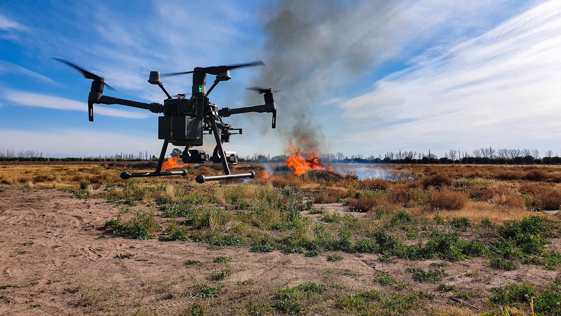
Imagery you can act on, and keep.
Live feed
Streamed to your control room or team.
Mapped imagery
Geo-referenced and ready to brief from.
Time-stamped record
For review, assurance and reporting.
RPAS operations, answered.
What is RPAS?
Remotely piloted aircraft systems, commonly called drones. We fly them for events, operations, land management and site assurance across Western Australia.
Are you a CASA-certified drone operator?
Yes. Resolve Emergency Management holds a CASA Remotely Piloted Aircraft Operator's Certificate (ReOC).
Can you fly at night?
Yes. We hold CASA approval for night operations and capture both thermal and visual imagery.
What do we receive?
A live feed to your control room or team, mapped and geo-referenced imagery, and a time-stamped record for review and reporting.
Where do you operate?
From Perth across Western Australia, including regional and remote sites. Every flight is planned around the airspace, the people below and the task.
Need eyes overhead?
Tell us the task, the site and the timing. We'll plan the flight around it.